Utility Mapping
Safe Site Utility Services offers both 2D and 3D utility mapping services. Moreover, we prioritize close collaboration with our clients so that subsurface utility data can be seamlessly integrated into their design and construction plans.
OUR Services
Accurate Underground Utility Mapping for Safer Projects
Safe Site provides a comprehensive view of underground utilities so project teams can plan, design, and build with confidence. Unlike surface-only locating, utility mapping turns field data into actionable underground utility maps that show the relative position, alignment, and relationships of buried infrastructure. These detailed maps help engineers, contractors, and property owners avoid costly utility conflicts, improve design accuracy, and minimize risk during excavation or construction activities.
What Is Utility Mapping
And Why You Need It
Subsurface mapping is the process of identifying and documenting underground utilities such as water lines, sewer pipes, gas mains, electrical lines, fiber optics, and storm drainage in a way that can be easily referenced on a professional map. This service goes beyond simple utility locating — it organizes subsurface data into a clear visual representation of what lies beneath your project site.
This process is essential because relying on outdated records or incomplete as-built plans can lead to inaccurate assumptions about subsurface conditions. Professional utility mapping ensures your project team understands what utilities are present, where they are located, and how they may affect construction or excavation.
How Professional Utility Mapping Improves Project Safety
THE ROLE iN PROJECT SAFETY
Safety is one of the primary reasons contractors and engineers invest in underground utility mapping services. When crews know the exact locations of buried electrical lines, gas pipes, and other infrastructure, they can take appropriate precautions to reduce the risk of strikes, accidents, and injuries. Accurate mapping also supports regulatory compliance and enhances your site’s safety protocols.
Utility mapping provides the clarity needed to protect workers, protect critical infrastructure, and prevent service disruptions. This is especially important for projects with complex subsurface conditions or where multiple utilities are clustered underground.
How Our Utility Mapping Process Works
Our process is designed to deliver accurate, reliable underground utility information through a clear and methodical approach.
Each step builds on verified data to support safe planning, design, and construction decisions.
UTILITY RECORD REVIEW
We start by reviewing available utility records, engineering drawings, and as-built documentation to understand existing underground infrastructure and identify potential conflicts early in the process.
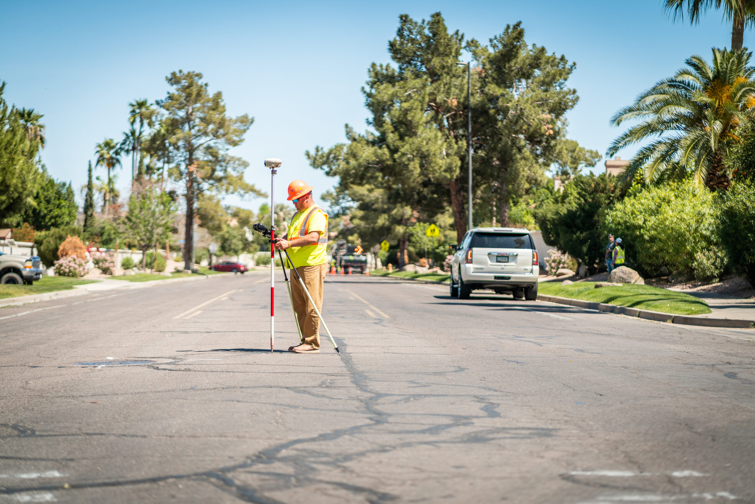
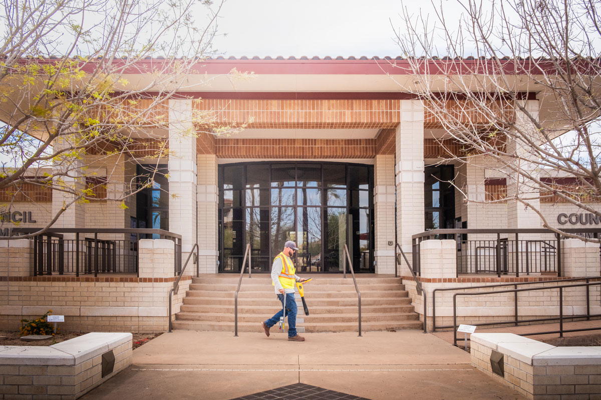
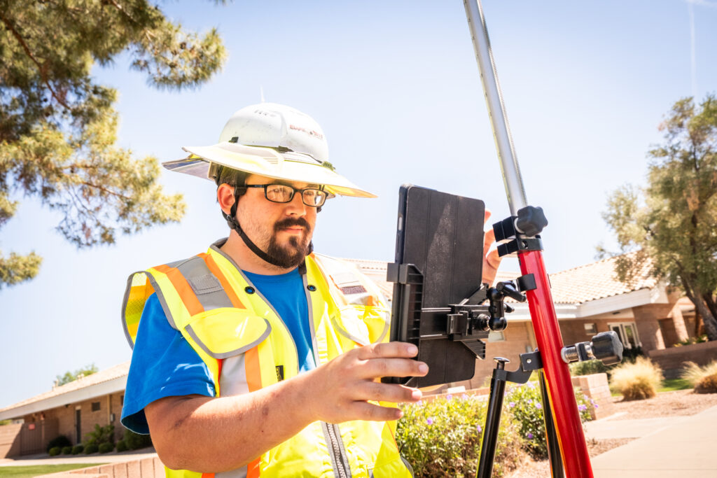
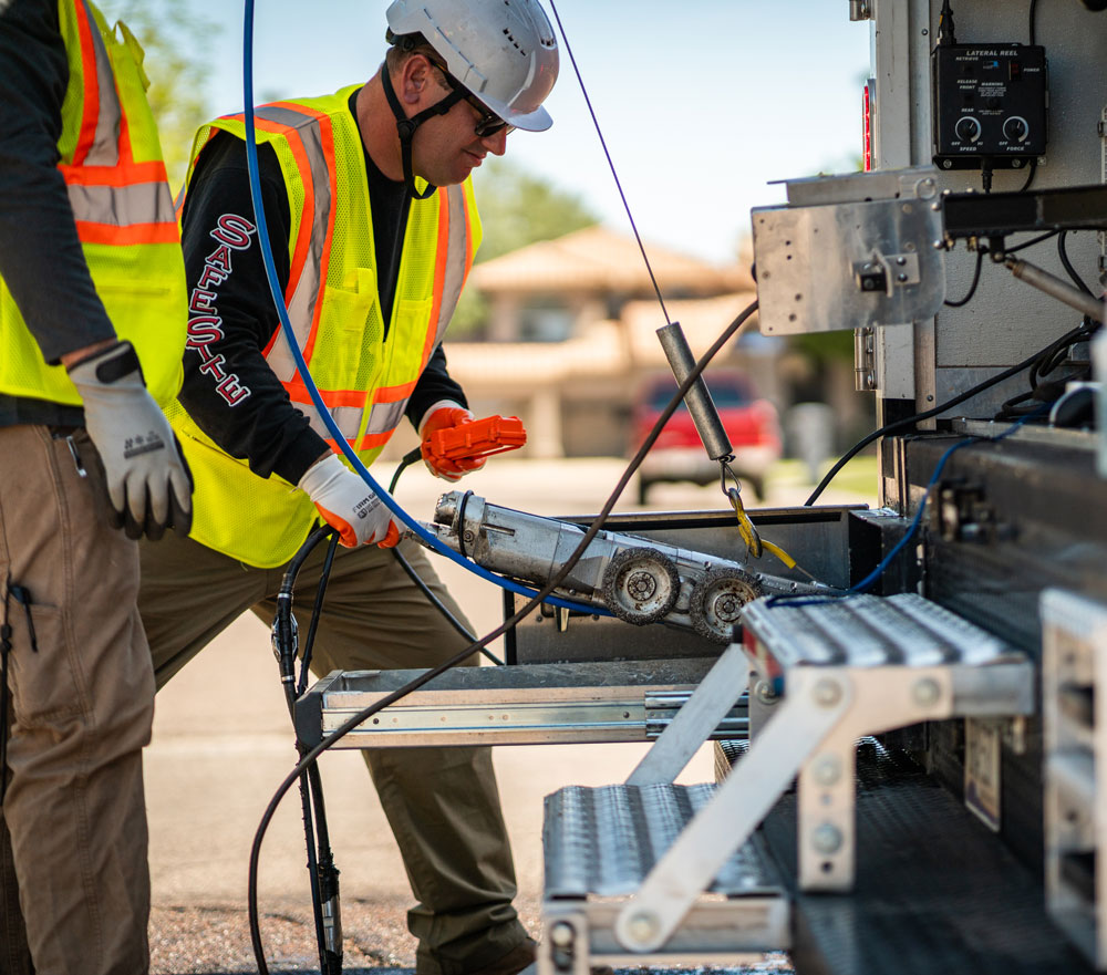
UNDERGROUND UTILITY DETECTION
Next, our team conducts on-site field verification using advanced detection technologies such as ground-penetrating radar (GPR) and electromagnetic locating equipment to collect accurate subsurface data.
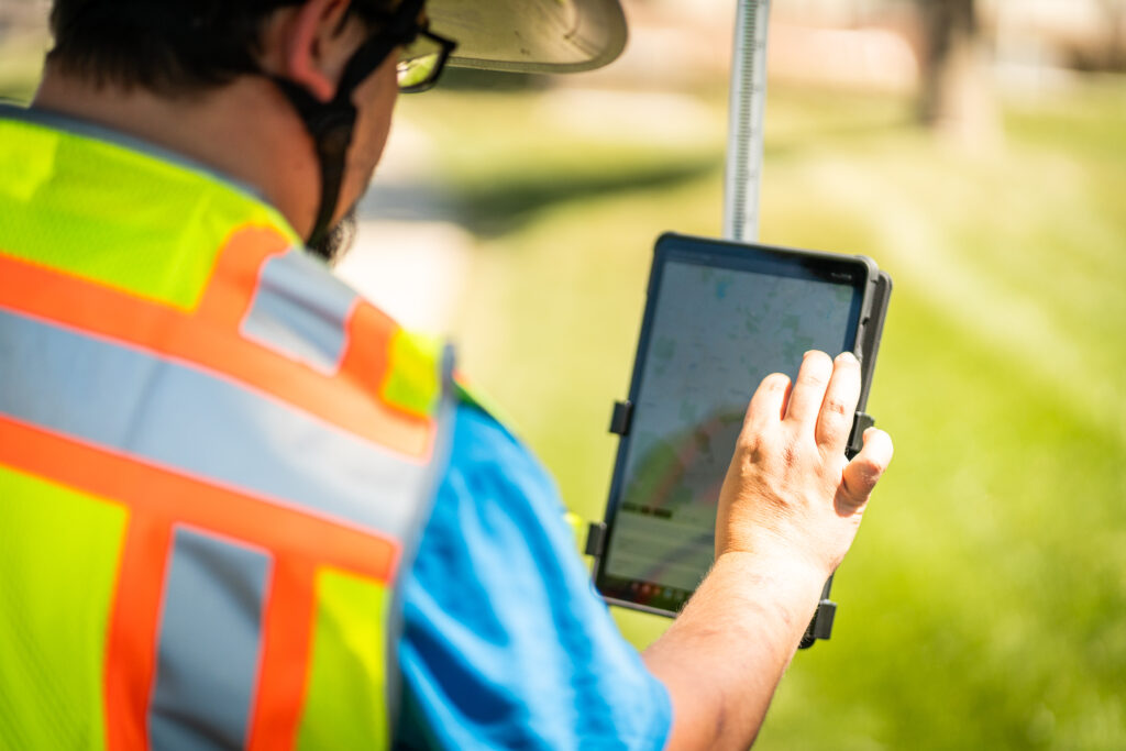
PROFESSIONAL UTILITY MAPPING
Finally, we analyze the collected information and produce detailed utility maps showing utility alignments, depths, and reference points in digital and print-ready formats that integrate seamlessly with design and construction documents.
Benefits of Underground Utility Mapping
Reduce Risks and Costs Before You Break Ground
Accurate utility mapping offers measurable benefits that improve project outcomes. By identifying potential conflicts before construction begins, utility mapping helps reduce delays, change orders, and costly rework. Project teams gain a more complete understanding of subsurface conditions, which supports better planning, improved scheduling, and enhanced coordination among stakeholders.
This process also serves as a permanent record of existing conditions, making future maintenance or expansions easier and safer. Whether your project is commercial, municipal, or industrial in scale, utility mapping adds clarity that traditional records alone cannot provide.
Utility Mapping for any market
Accurate Subsurface Data for Every Project Stage
Utility mapping is not limited to initial planning. It also offers ongoing value during design, construction, and facility maintenance. Designers use utility maps to avoid conflicts with proposed infrastructure, while construction teams rely on them to guide excavation and installation work safely. Facility managers benefit from having accurate subsurface data available for long-term operational planning.
Our deliverables are provided in multiple industry-standard formats, including CAD (.dwg), KML, vector, PDF, Shape File (.shp), and MicroStation (.dgn), allowing seamless integration into design and construction workflows.
Safe Site Utility Services also delivers comprehensive utility mapping that fully adheres to the ASCE 38.02 (38.22) Subsurface Utility Engineering standard, ensuring accuracy, consistency, and professional compliance you can rely on.
Complex Sites and Seamless Engineering Workflows
Some sites require more than basic locating, especially in dense urban areas or older properties, and our detailed utility mapping is ideal for these high-risk environments.
It gives engineers the clarity they need to design around existing utilities and helps contractors avoid delays during excavation. Because of this, our service is a valuable solution for road projects, commercial buildings, industrial facilities, and municipal upgrades.
As a result, your designers and engineers can work faster and make confident decisions at every stage of the project.
Why Choose Safe Site
Your Utility Mapping Services Company
Safe Site combines industry knowledge with advanced mapping technologies to deliver utility mapping services you can trust. Our trained technicians and mapping professionals use proven methods to collect accurate subsurface data, ensuring your utility map reflects real-world conditions and supports informed decisions.
We understand the challenges of underground utility detection and provide solutions that enhance safety, reduce risk, and support project success from start to finish.
Frequently Asked Questions (FAQs)
Some frequently asked questions to help you understand our service in details.
How quickly can Safe Site provide utility maps for my project?
Delivery timelines vary by project size, but we prioritize fast, accurate mapping to keep your schedule on track.
Can your maps be integrated with our existing CAD or GIS systems?
Yes. We provide flexible formats that easily integrate into your workflow and engineering software.
Will your utility mapping help reduce construction delays and change orders?
Absolutely. Identifying conflicts before excavation prevents costly rework and keeps projects moving smoothly.
Do you map both metallic and non-metallic underground utilities?
Yes. Our technology detects a wide range of subsurface utilities, ensuring comprehensive coverage.
Can Safe Site support long-term maintenance and future expansions?
Yes. Our utility maps create a permanent record that helps facility managers plan safely and efficiently.
How much notice should I give before a utility mapping project?
Ideally, 1–2 weeks, but we can accommodate urgent projects when needed.
What happens if the site conditions are unusually complex?
We adjust our approach and technology to ensure accurate mapping, no matter the site.
Get your project started
with your free quote
Trust Safe Site to provide accurate, reliable utility maps that keep your projects on time and on budget.
Our experienced team ensures your subsurface data is clear, actionable, and ready for every stage of your project.