Okland Construction, general contractor to International Speedway Corporation (ISC).
Subsurface utility engineering (SUE) , locating & mapping across Quality Levels D through A, hydrovac potholing/vacuum excavation, continuous on-call locate support
Phoenix International Raceway Rebuild: $178M grandstand, infield, and underground utility renovation, 2017 to 2018.

Safe Site built the only reliable underground utility map of a decades-old, still-racing NASCAR superspeedway almost from scratch, running 1,000+ test holes over three-plus years and standing up on-call locate coverage for Okland’s subcontractors. Nearly five years after completion, that map is still the facility’s utility record of reference.
Phoenix International Raceway (renamed Phoenix Raceway in 2018) is a NASCAR Cup Series superspeedway in Avondale, Arizona, owned by International Speedway Corporation (ISC). In 2017, ISC engaged Okland Construction, a Salt Lake City-based general contractor, together with Barton Malow, to deliver a $178 million renovation completed in November 2018, relocating the start/finish line, expanding grandstand capacity by roughly 30,000 seats, and rebuilding the track’s 37-acre infield. The entire program had to be executed while the raceway continued hosting its full NASCAR racing calendar.
Beneath a facility that had been built, patched, and expanded over decades sat a water and sewer network that was effectively undocumented. Only two as-built maps existed when the renovation began. Okland and its many subcontractors needed accurate, current utility information fast enough to keep pace with a construction schedule dictated by race weekends, with zero tolerance for a utility strike on an active, high-value facility. No single map, drawing, or one-time locate was going to be enough; the underlying data simply didn’t exist yet.
Safe Site was brought in to build that picture from the ground up. Over more than three years spanning design and construction, Safe Site’s locating crews returned to the site again and again, verifying underground infrastructure and adding it to a single master map with every visit, tracked through 148 successive revisions (R1 through the final R148) as more of the buried network was confirmed in the field. To ground-truth what the map showed, crews performed more than 1,000 test holes (potholes), directly for Okland and on behalf of its subcontractors, confirming exact utility depth and location before excavation began.
As construction ramped up, Safe Site introduced a Work Area Grid that divided the property into numbered zones. When an Okland subcontractor was about to mobilize into a given zone, they called Safe Site‘s office directly to schedule a locator to refresh or relocate utilities in that area, turning what is usually a one-time locate into embedded, on-call coverage for the life of the project.
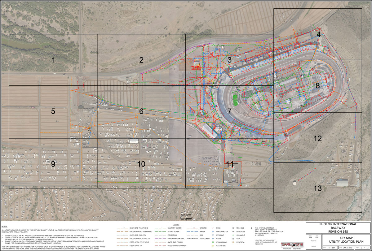
Safe Site’s work at Phoenix Raceway followed the framework used across the subsurface utility engineering (SUE) industry, which grades the reliability of utility information into four progressively more rigorous quality levels. The PIR engagement moved through all four, and each one raised the confidence Okland’s crews could place in the map before they put a shovel in the ground.
That progression is what let a subcontractor mobilizing into a Work Area Grid zone rely on data that had already been verified by hand, not estimated from old records or a single geophysical pass. Carrying that discipline across three-plus years on an active jobsite led to safer, more informed field decisions when conflicts arose.
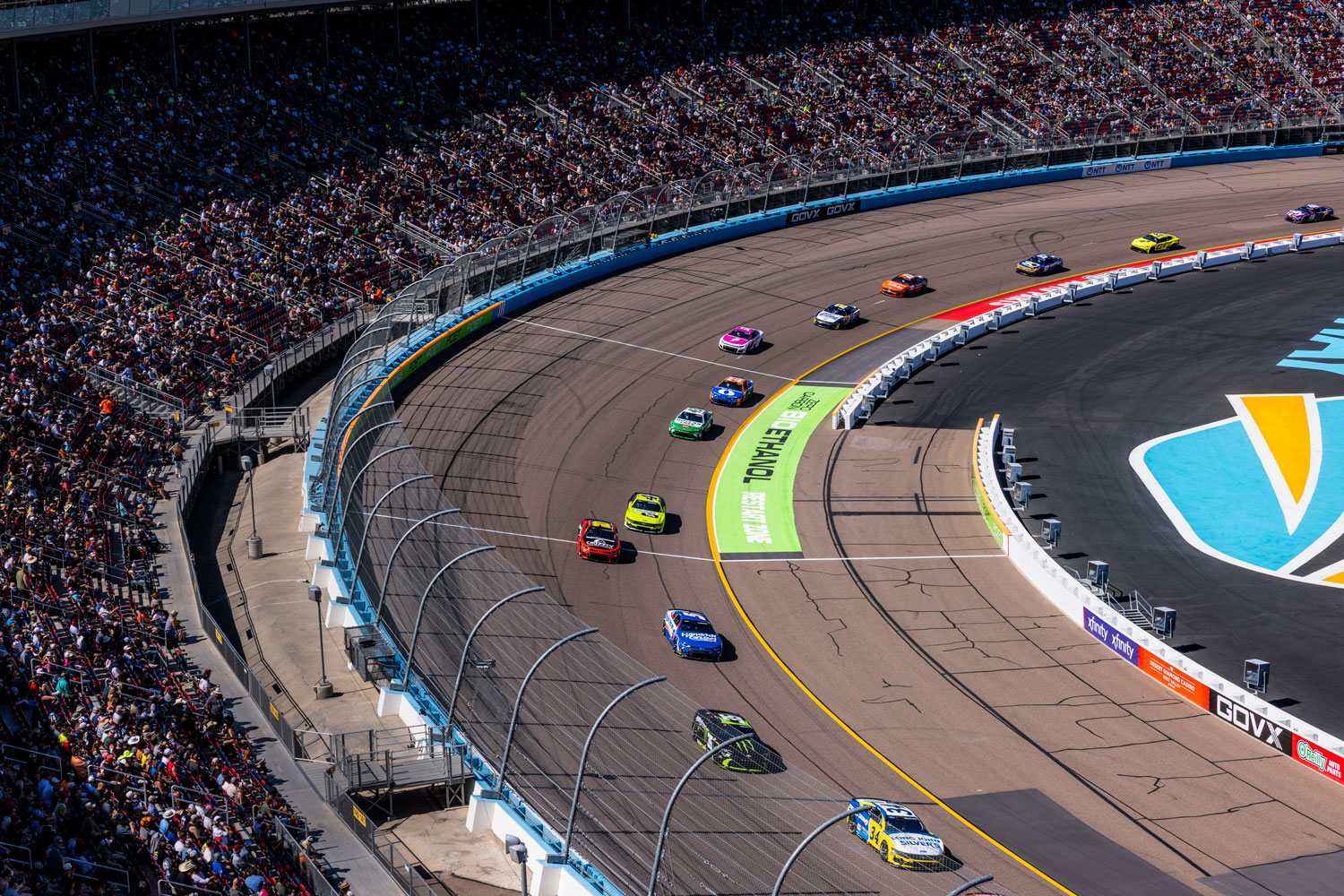
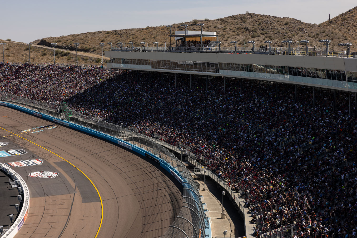
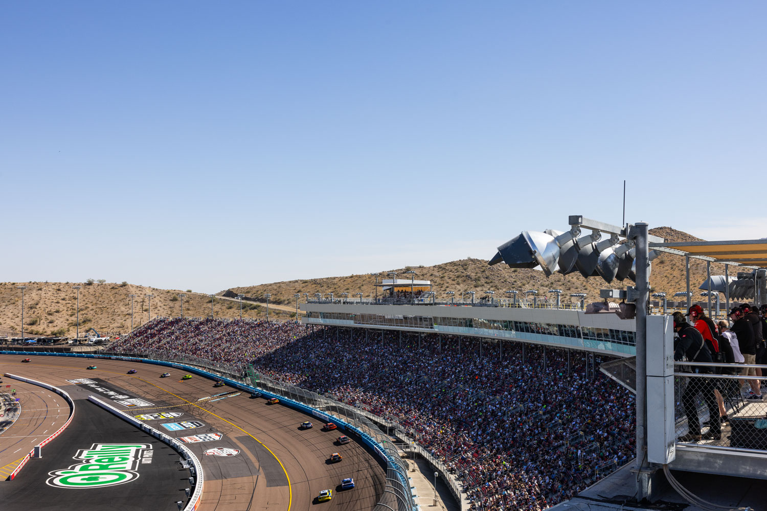
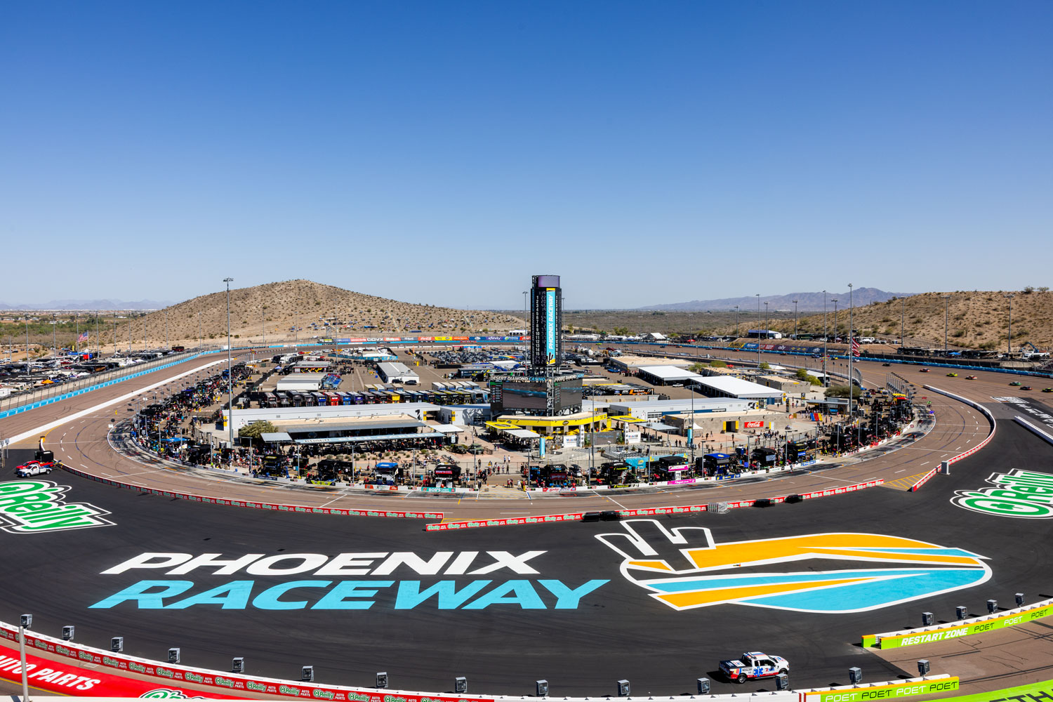
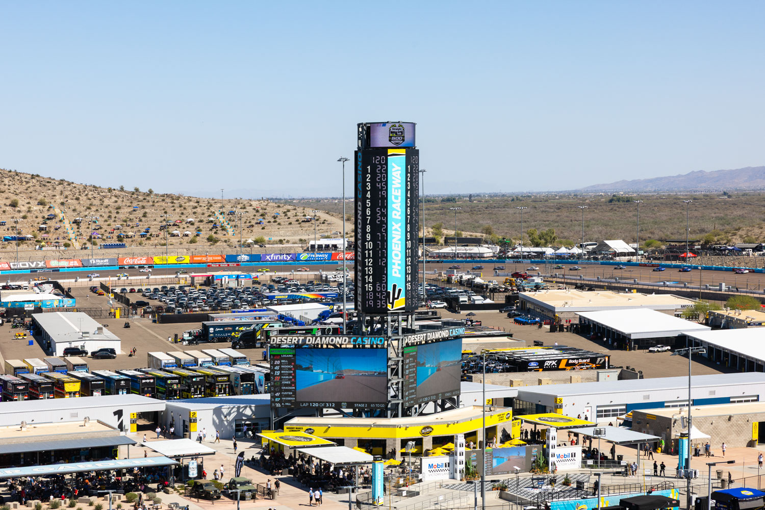
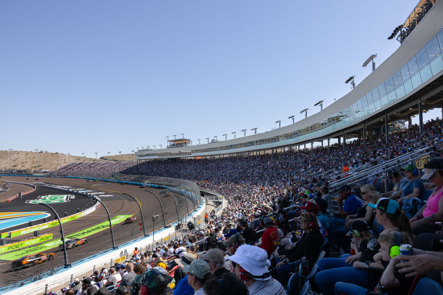
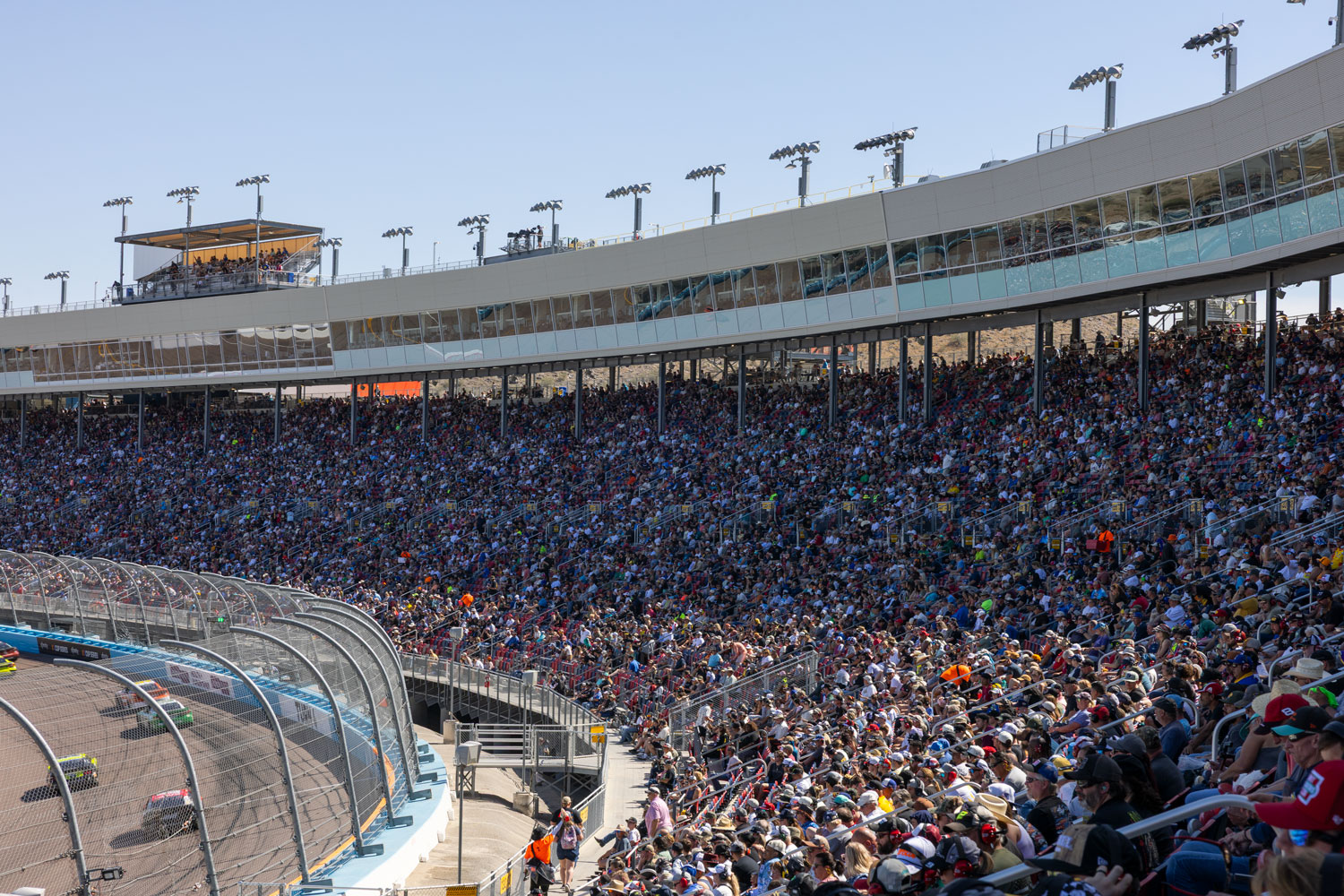
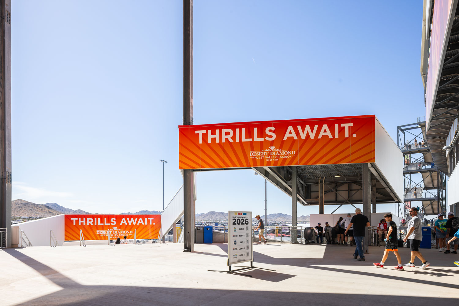
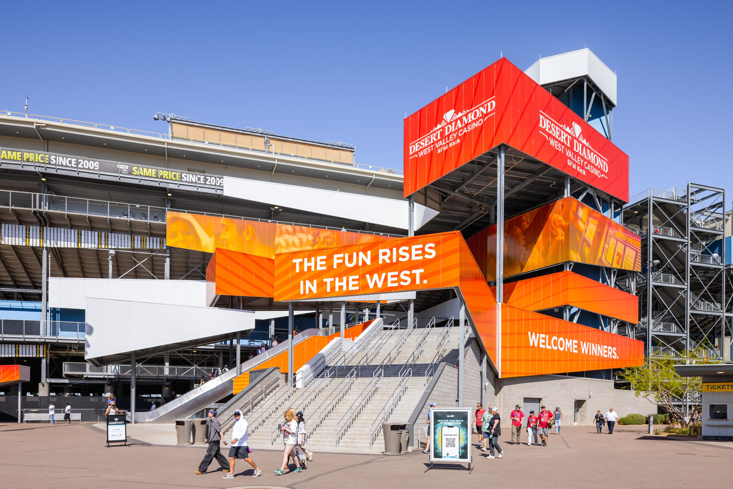
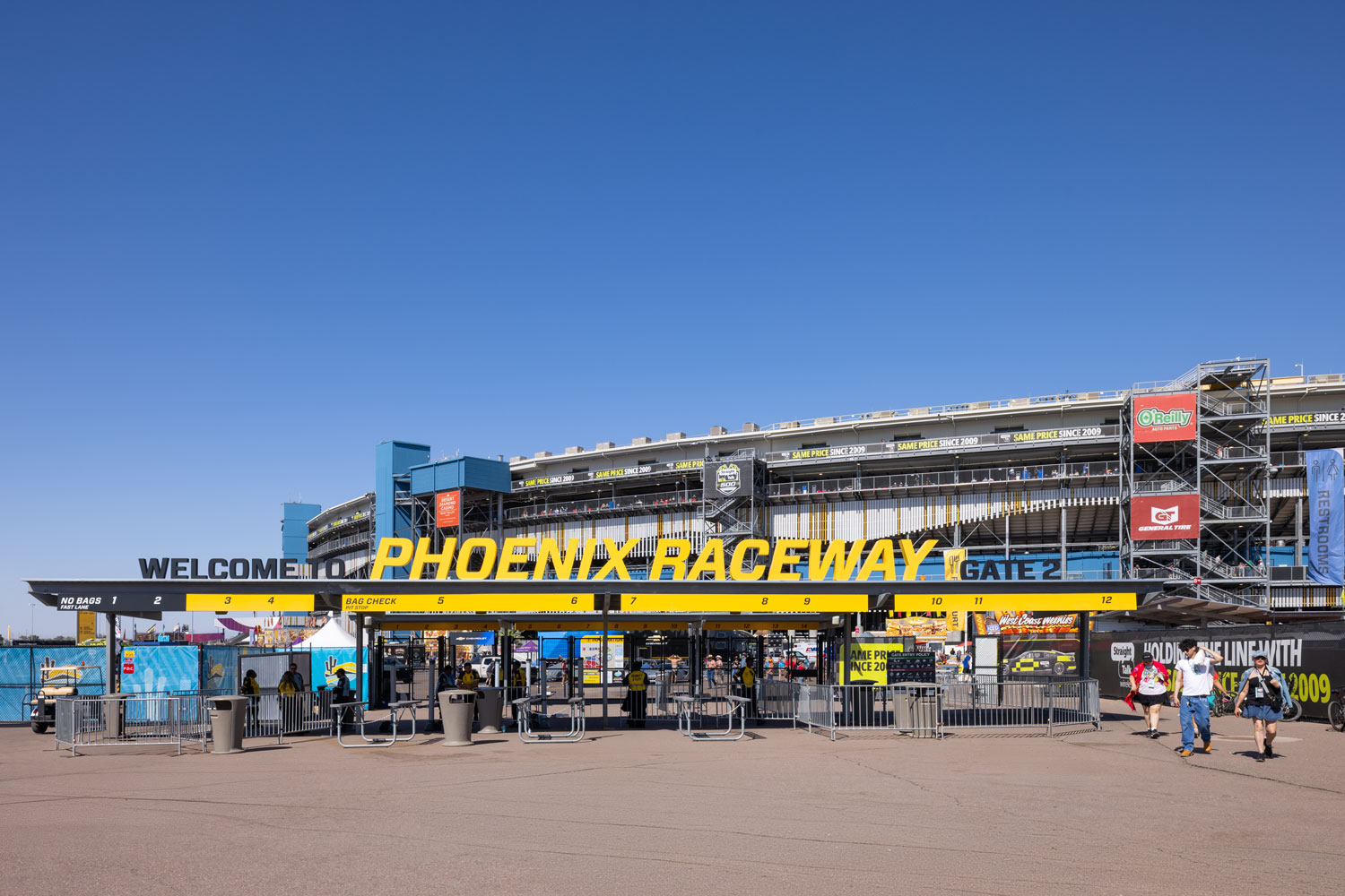
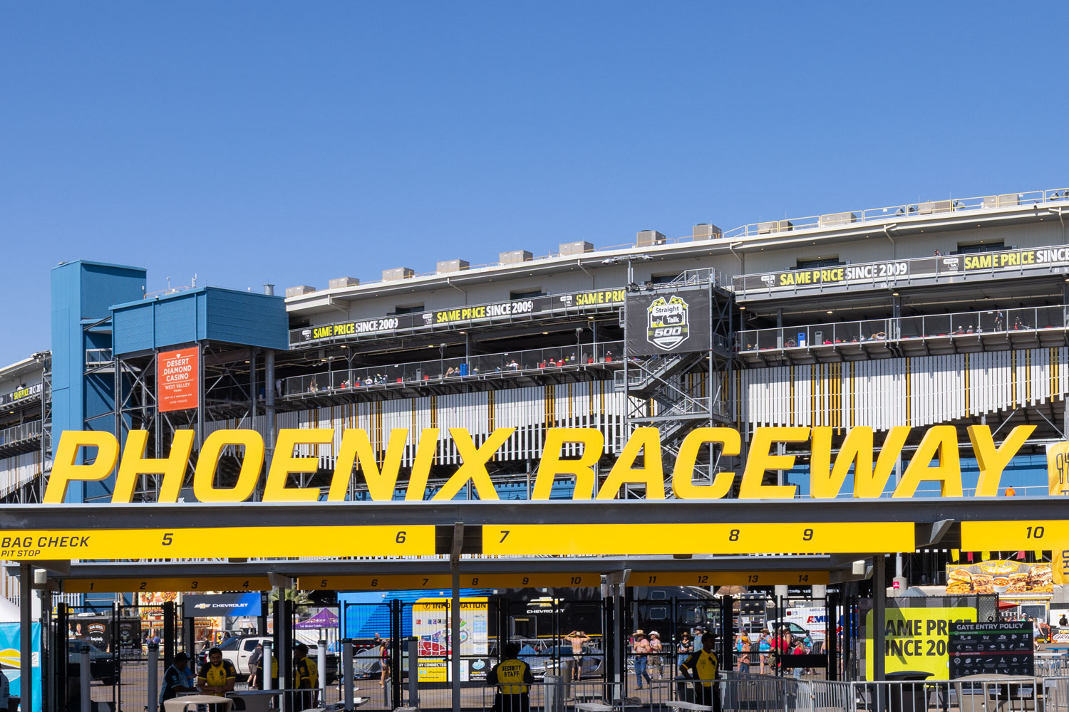
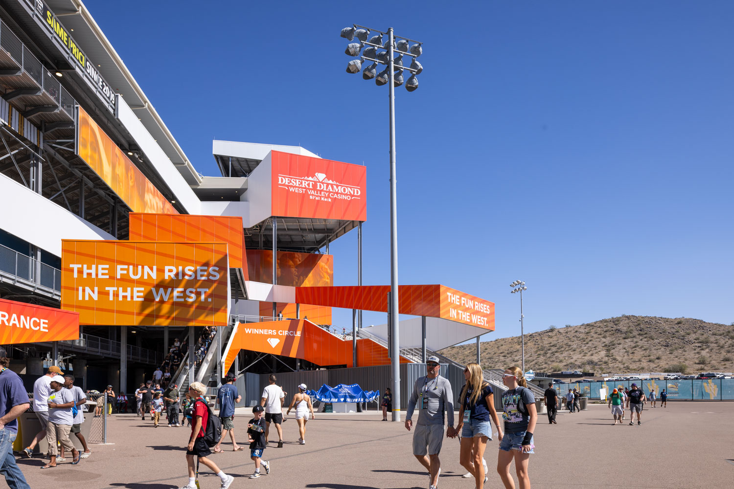
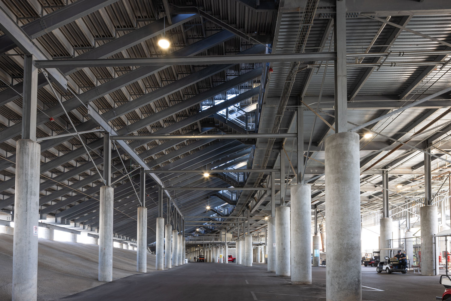
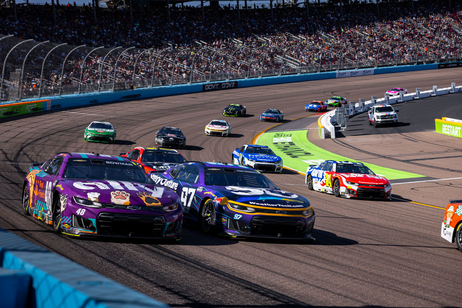
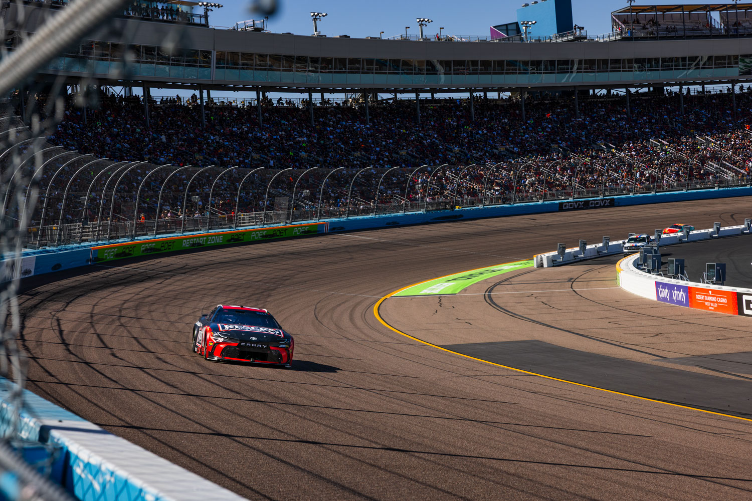
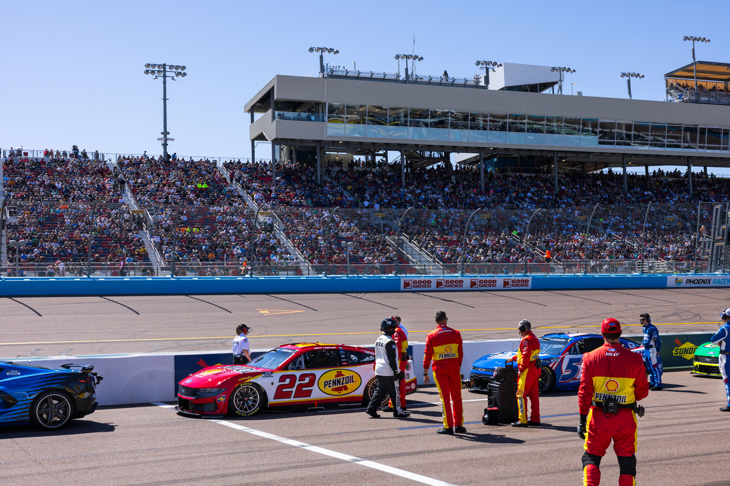
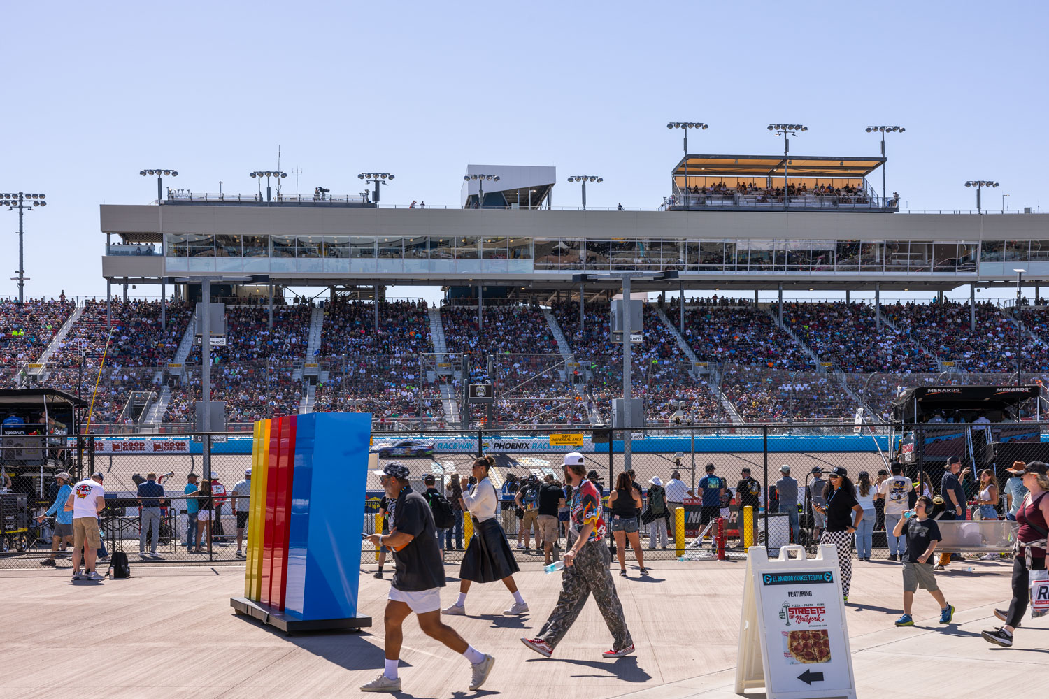
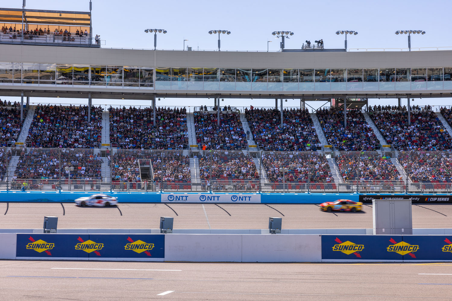
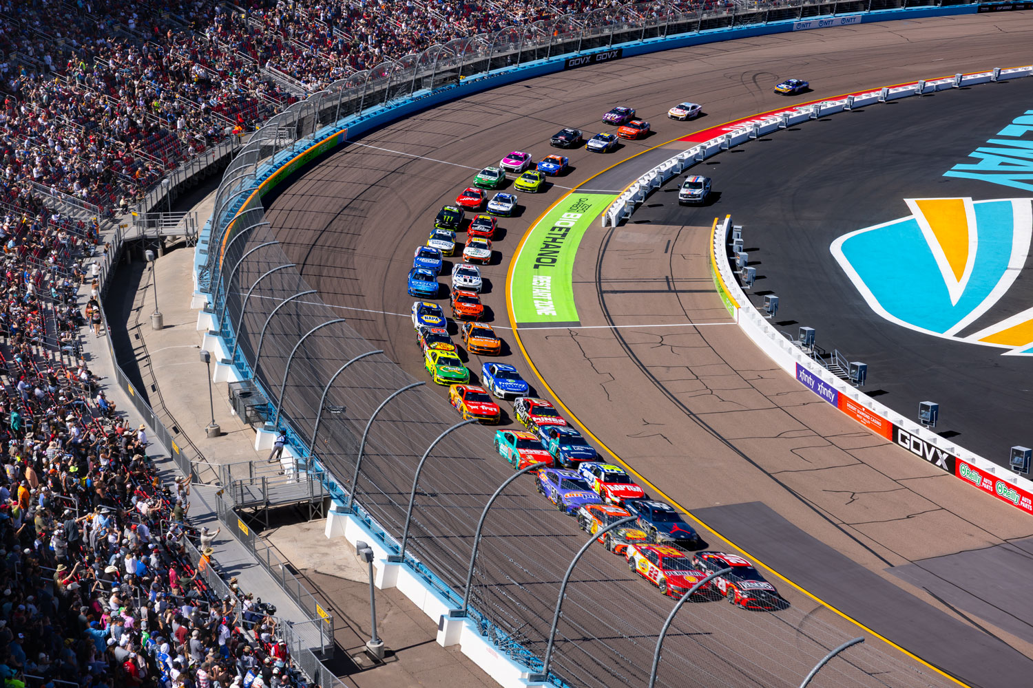
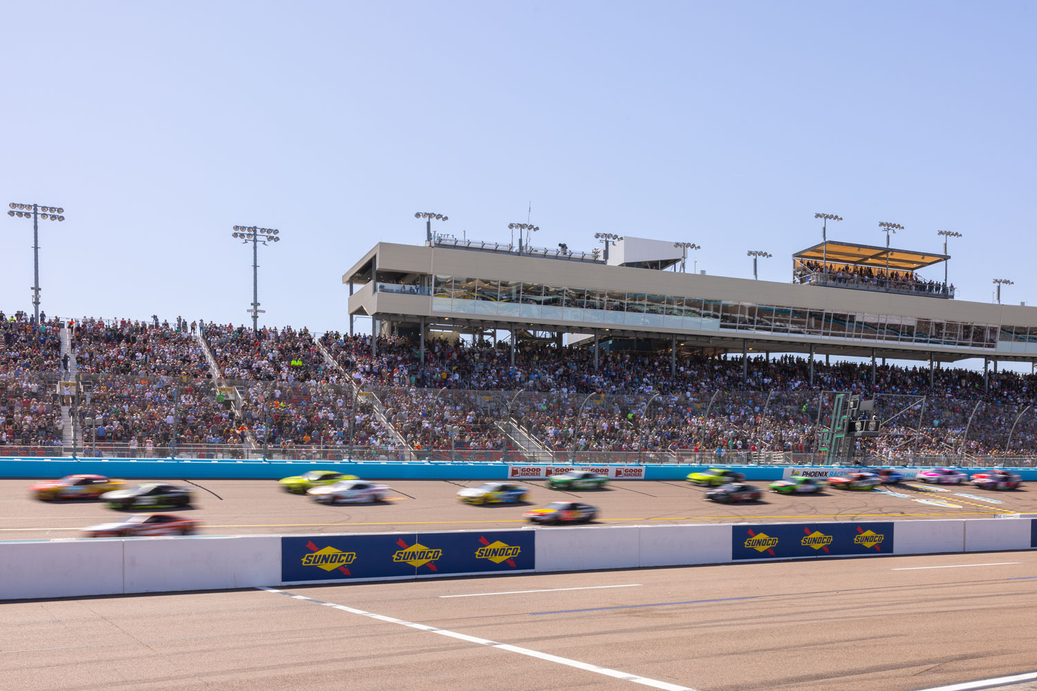
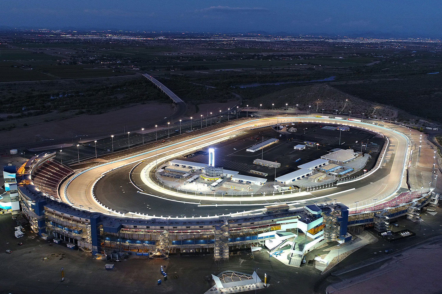
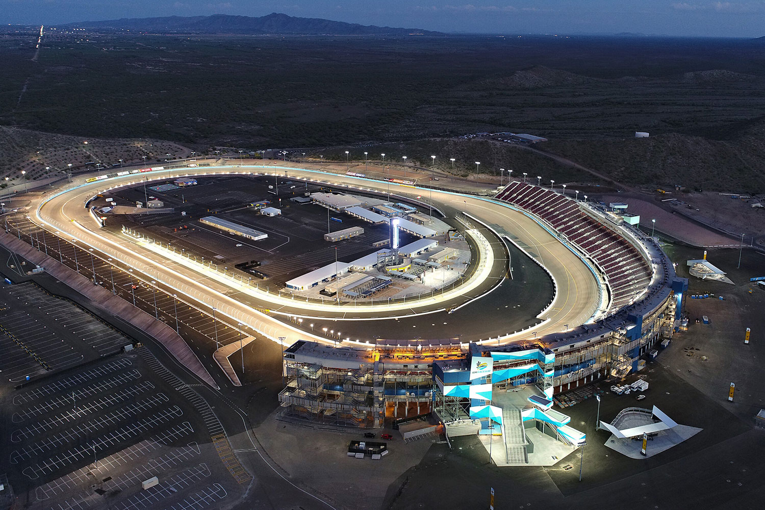
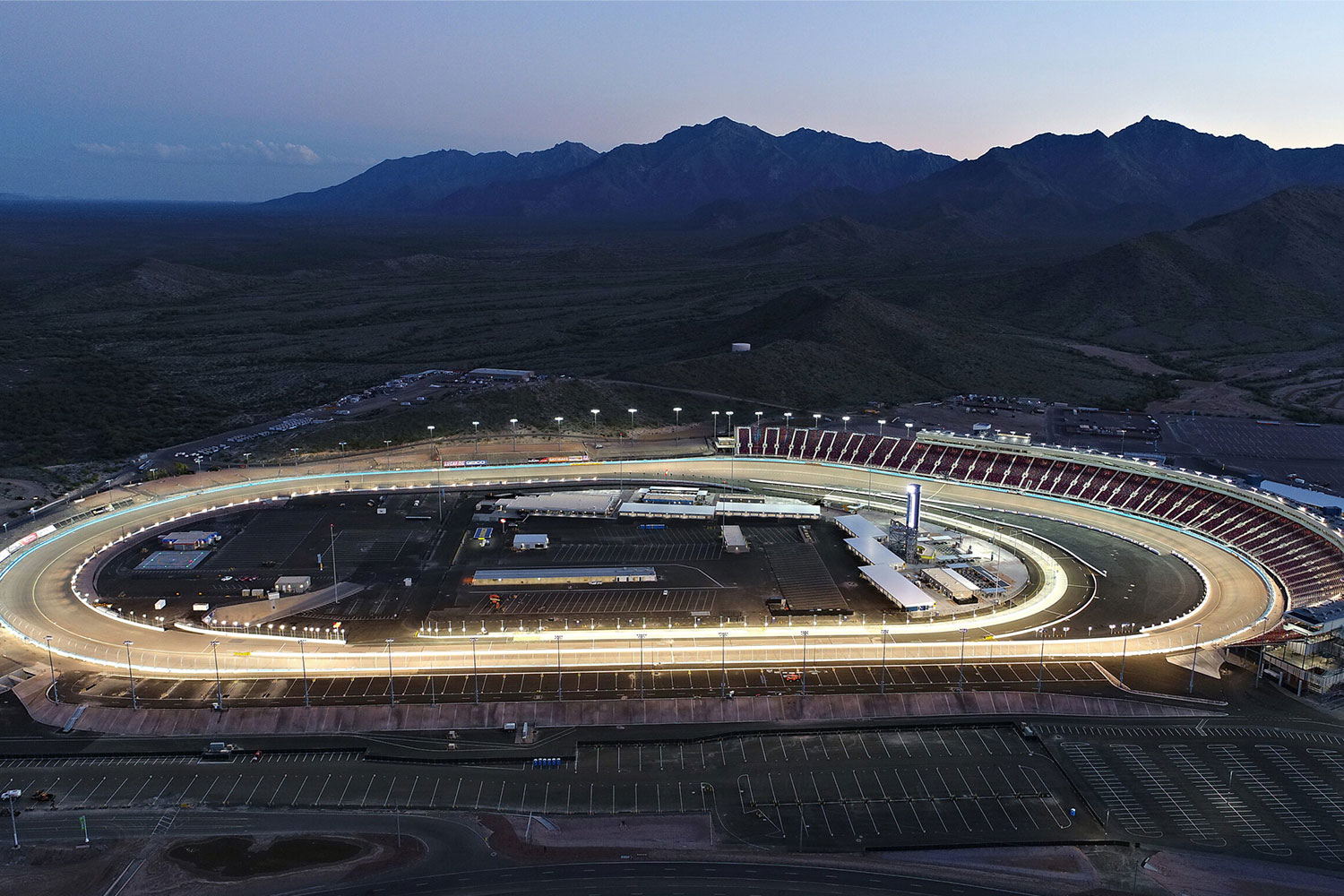
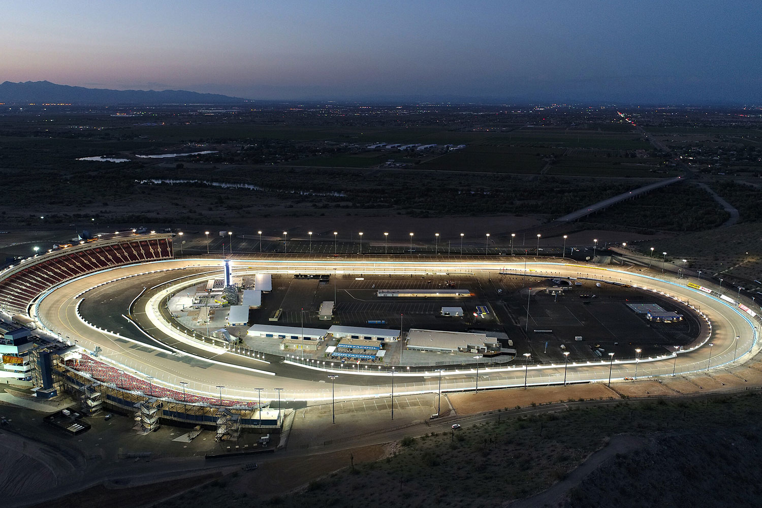
Image Credit: Okland Construction
Most utility locating jobs involve a single site visit. However, Safe Site worked with Okland at Phoenix Raceway from design through construction, helping engineers identify utility conflicts before finalizing plans. As a result, the team could address potential problems before excavation began.
Throughout construction, subcontractors relied on Safe Site’s master utility map to plan work across the site. Safe Site continually updated the map as crews verified more utilities, giving the raceway a reliable record of its underground infrastructure.
Even after construction ended, the map remained valuable. Nearly five years later, Okland’s original project manager returned to Safe Site for the same mapping information. This showed that accurate utility mapping delivers lasting value long after construction ends, helping facility owners plan maintenance, future expansions, and emergency repairs.
“This was a partnership with Okland, a project that spanned over three-plus years to better understand the underground infrastructure. What tells the story is how we continued to build the map, visit after visit, until it became the record everyone relied on for planning, design and construction for years to come.”
Justin Barcom, President, Safe Site Utility Services
Safe Site provided locating, utility mapping, and vacuum excavation as one integrated service. Its own field crews worked directly with Okland’s construction schedule, updating the master utility map as work progressed across each zone.
As a result, subcontractors could request locating support when they needed it, while Safe Site continued to verify and add new information to the map. This coordinated approach kept utility data current throughout the project instead of relying on separate vendors and outdated records.
Design through construction, on site continuously
Successive map revisions (R1 → R148)
QL A test holes performed for Okland & its subcontractors
Map still requested & used as PIR’s utility record
Phoenix Raceway is a proof point for how Safe Site’s core asset, field-verified locating and mapping data built and owned continuously rather than delivered once, keeps producing value long before a project breaks ground and long after it’s finished.
The Phoenix Raceway project shows what happens when utility locating, Subsurface Utility Engineering (SUE), and hydrovac excavation work together from design through construction. Safe Site built a verified underground utility map through 148 revisions and more than 1,000 test holes, giving Okland Construction and its subcontractors reliable field data throughout the project.
Planning a complex construction or infrastructure project? Safe Site provides utility locating, SUE, utility mapping, and vacuum excavation to help your team make informed decisions before breaking ground.
Contact Safe Site to discuss your next project.